
PAVRON / Projects
03 — PERSPECTIVESIdeas. Into infrastructure.
Technical thinking, applied to the real world. Explore the work and engineering disciplines behind our contribution to Pakistan’s infrastructure.
Discuss a project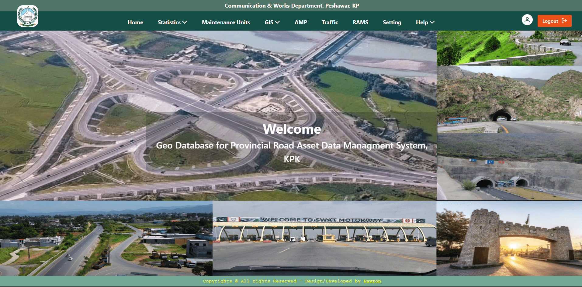 2024
2024Road Assets Management System (RAMS)
Khyber Pakhtunkhwa
RAMS is an ADB-funded Geographic Information System (GIS) built for the Khyber Pakhtunkhwa government to digitize and manage the province's road infrastructure asset inventory — covering carriageways, bridges, culverts, and associated road furniture across the provincial and district road network. The system replaces manual, paper-based asset records with a centralized digital inventory that supports asset lifecycle management: capturing as-built geometry, condition and classification data, and maintenance/rehabilitation history for each asset, tied to precise spatial location. This gives planning departments the ability to query road networks by district, road class, or condition, and to visualize the full network on interactive maps for infrastructure planning, budgeting, and maintenance prioritization. Civil engineering-relevant capabilities: Asset inventory & classification: Structured cataloguing of roads (by classification/hierarchy), bridges, and culverts, each with engineering attributes (length, width, surface type, structural details) alongside spatial geometry. Spatial data capture from survey/as-built sources: Ingests KMZ files (commonly exported from GPS field surveys and Google Earth) as the source of truth for road alignments and structure locations. Approval-based change control: Any modification to an asset — new construction, realignment, decommissioning — goes through a structured request-approval workflow, mirroring how infrastructure change is authorized in practice rather than allowing direct database edits. GIS map publishing: Uses GeoServer to publish standards-based map layers (WMS/WFS) so asset data can be visualized and consumed by GIS desktop tools and web dashboards alike, aligned with how transport departments typically integrate spatial data. Data reconciliation: Cleaned and standardized inconsistent field-collected data (road names, alignments, coordinates) across districts to build a reliable master asset register — a common challenge in infrastructure projects, where legacy datasets are fragmented and inconsistently formatted. Impact: Supports evidence-based road network planning and maintenance decisions for a government road authority, replacing fragmented paper/spreadsheet records with a query-able, map-based asset register.
 2022
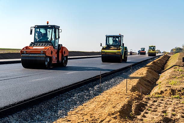
2022Highway Expension
Punjab
Structural condition survey and rehabilitation design for a major motorway interchange.
 2021
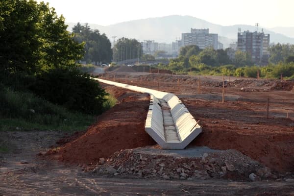
2021Urban Drainage Design
Khyber Pakhtunkhwa
Design of water supply distribution schematics for an expanding municipal settlement.
GOOD PROJECTS BEGIN WITH A CONVERSATION
Let’s build
what’s next.
Your ambition. Our engineering perspective.
ISLAMABAD, PAKISTAN / EST. 2004